


Home Page
Welcome to "Old Ramsgate"...
.

..
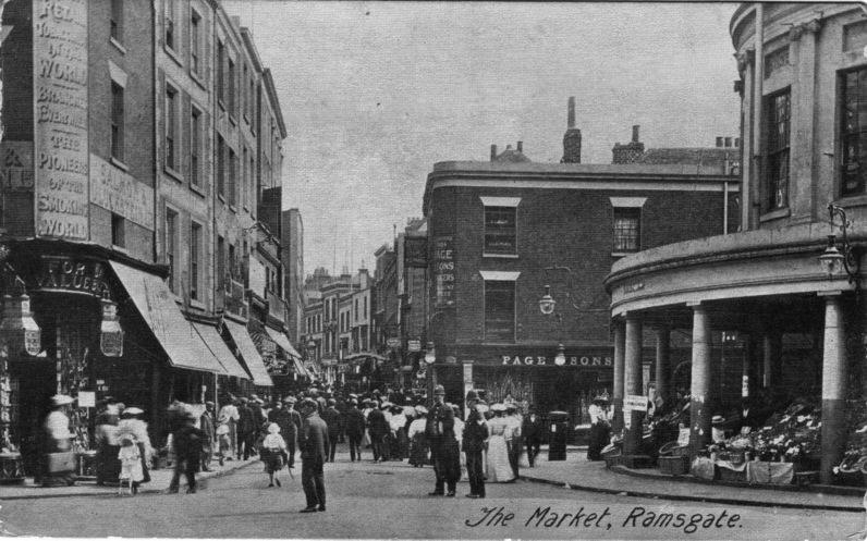
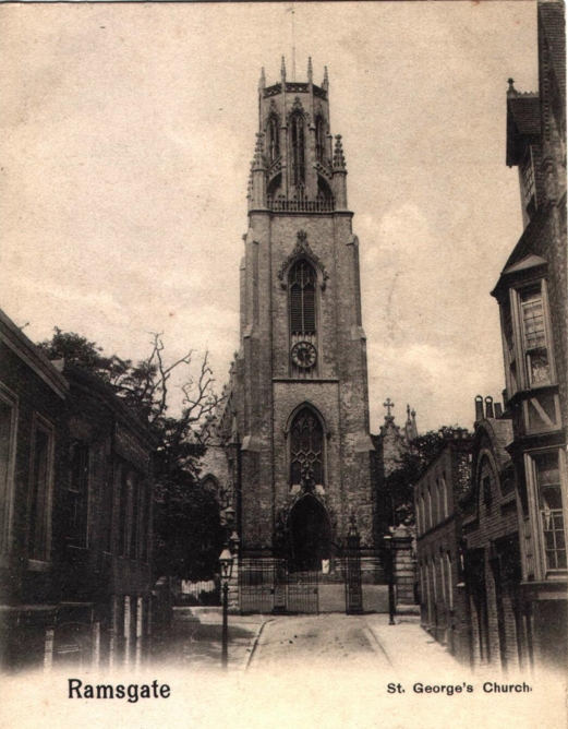
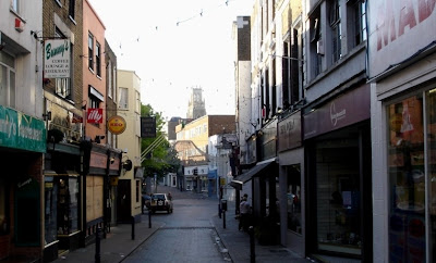
Identical scenes from last century and today...
.
.

1897-1905
 2006
2006
I hope you enjoy this blog - it's a collection of photos of the town of Ramsgate during it's early heyday, compared with the same scenes today, over a hundred years later. I find it interesting to see what has changed over all the years.
Click on a link (to the left) under "Recent Posts", to visit different areas of the town, and I hope you enjoy the journey back in time!
<--->
A description of Ramsgate in a Victorian journal of the Nineteenth century:
"The streets of Ramsgate are well paved or macadamised, and brilliantly lighted with gas. There are establishments and a savings bank, with a literary institute, assembly-rooms, a small theatre, several good libraries, dispensary, town-hall, custom-house, music-hall, gas-works, water- works, &c. An excellent promenade on the West Cliff has been laid out in an ornamental manner, and forms a delightful source of healthy recreation. The bathing-machines are under the East Cliff where also, as well as in front of the harbour, there are well-appointed warm baths, &c. The markets are extremely well supplied meat, excellent fish, & ; and few places on the coast are so cheap, as well as healthy and agreeable for a summer’s residence.
We need not be surprised at the popularity which Ramsgate continues to enjoy as a watering place, when these and many other advantages present themselves for the convenience of the visitor.
The environs of Ramsgate are charmingly picturesque and diversified. Several handsome residences are here. East Cliff Lodge, pleasantly situated about a mile to the north-east of the town, is a large marine villa, belonging to Sir Moses Montefiore, Knight. The caverns at East Cliff deserve particular notice: they are formed by an excavation at the distance of thirty feet from the cliff, and parallel with it, descending gradually to the level of the shore. This subterraneous passage receives its light from arches of such large capacity as to resemble rooms, which are cut at right angles through the chalky cliffs opening to the sea and these arches being in summer carpeted with turf, and covered with shrubs and flowers, appear very picturesque. The lowest arch terminates in a passage leading directly to the beach.
Sir Moses Montefiore has, at his own expense, erected a synagogue at Hereson.
About a quarter of a mile westward of Ramsgate, is Ellington. In the reign of Elizabeth, this estate became the property of the Spracklings, several of whom lie buried in the chancel of St. Lawrence."
We need not be surprised at the popularity which Ramsgate continues to enjoy as a watering place, when these and many other advantages present themselves for the convenience of the visitor.
The environs of Ramsgate are charmingly picturesque and diversified. Several handsome residences are here. East Cliff Lodge, pleasantly situated about a mile to the north-east of the town, is a large marine villa, belonging to Sir Moses Montefiore, Knight. The caverns at East Cliff deserve particular notice: they are formed by an excavation at the distance of thirty feet from the cliff, and parallel with it, descending gradually to the level of the shore. This subterraneous passage receives its light from arches of such large capacity as to resemble rooms, which are cut at right angles through the chalky cliffs opening to the sea and these arches being in summer carpeted with turf, and covered with shrubs and flowers, appear very picturesque. The lowest arch terminates in a passage leading directly to the beach.
Sir Moses Montefiore has, at his own expense, erected a synagogue at Hereson.
About a quarter of a mile westward of Ramsgate, is Ellington. In the reign of Elizabeth, this estate became the property of the Spracklings, several of whom lie buried in the chancel of St. Lawrence."
<-->
*** COMPETITION ! ***
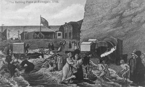
Below is a very old picture from 1788, which shows "The Bathing Place" at Ramsgate...
Does anyone know exactly where this was, from looking at the picture?
Acknowledgement:
Many Thanks to Janet & Richard's Genealogy Homepage for their kind permission to use many of the original postcards from their personal collection. More 'Ramsgate in old postcards' and other useful information can be found on their site here, or from the links page.
Recent Updates:
20/11/07 - Amended links to posts in template to ensure they are always visible.

"Ramsgate - Then & Now" has recently been published by the History Press, in an attractive 96 page book. This first edition includes all of the old & new images from this site, as well as many more, and over 10,000 words of supporting captions and historical information, to complement the images.
If you have enjoyed visiting this site, why not buy the book, which would make the perfect gift for any Ramsgatonian, old or new!
£9.99 (inc. P&P)
.
posted by Vince R | 8:28 pm
|
15 comments






 St. Augustines Abbey, 2006




 Augusta Road, c.1905
 Augusta Road, 2007


